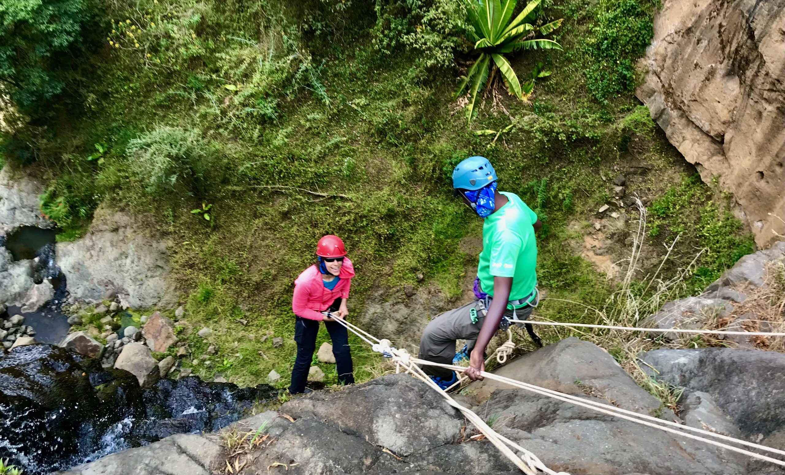
10 a must do one-day hiking trails near Nairobi, Kenya.
Hiking is an exciting physical and mental fitness activity that challenges and cheers the human spirit at the same time. The last ten years has seen more Kenyans embrace the backpack revolution. Droves of them pack their bags and early morning Saturday or Sunday are off to different destinations within two hours drive from the capital Nairobi. And here at Hikemaniak we are overjoyed to see more of us enjoy the magical landscapes.
Want to join them? Here is where they go and return with beautiful stories…
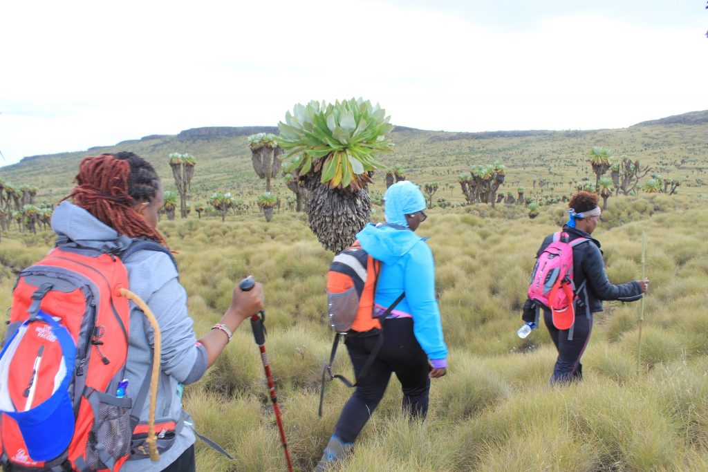
1. Elephant Hill Aberdares
Just under 100km from Nairobi is Njabini Gate at an elevation of 2,500m asl is the trail head of one the Aberdares most sort and visited trail, offering both a good challenge and beautiful views.
The trail is about 9km to the peak standing at 3,650m Asl and you get back to the start by retracing you steps.

From the top awesome views of the twin peaks of Mt. Kinangop 2nd highest point of the Aberdares. Away from the horizon to the south is Mt. Longonot and Mount Suswa and to East the Mount Kenya.
The vegetation; Rain forest, Bamboo forest zone, and at last heather and moorland
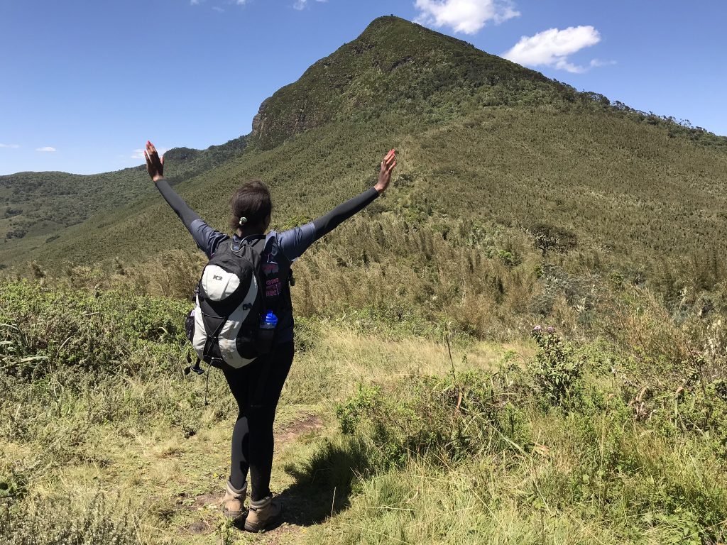
Mist and rain occur throughout much of the year, with precipitation varying from around 1,000 mm on the drier north-western slopes to as much as 3,000 mm in the south-east.
During the rain season the trail is extra challenging especially in the bamboo section of the trail.
Note;
Distance; 18km
Elevation Gain; 1050m
Time; 6-7 hours
Trail Rating; Moderate
2. Sleeping Warrior and Ugali Hills
His presence cannot be ignored even on a lying position.. the pink Lake that is Elementaita form a beautiful foreground as the trail head.
Located adjacent to Lake Elementaita, and approximate 140 Km from Nairobi, the sleeping warrior hill is a mimic of sleeping Maasai Warrior and noticeably the peak or the summit that resembles his nose from a distance. The locals associate the hill with a Masai Oloibon who died long time ago.
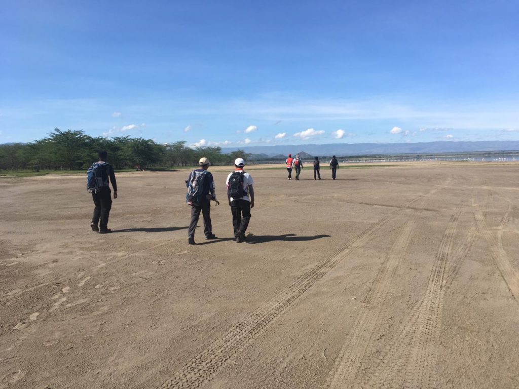
The trail starts from Lake Elementaita main gate and runs along the shores of the lake to the hot springs where locals and visitors takes a shower as the water is believed to have a healing effect on one’s skin. It then proceeds towards the base of the Sleeping warrior before leading to a sharp ascent to the nose (peak) which provides a magic view of the lake and the caldera.

The trail then descends towards the Eastern side for a short trek through rocky volcanic rocks before turning into a steep ascent to the Ugali hill (2,340m asl). At the top of the hill provides a panoramic view of the lake and beautiful landscape of the rift valley. The trail then descends to lead towards a dirt road at the foot of Ugali Hills where the treks ends.
The trail gives the trekkers an opportunity to view wildlife, birds and a scenic view of the lake Elementaita and beautiful landscapes
Note;
Distance 18km
Time; 6hours
Highest Elevation ; 2340m
Trail Rating; Moderate
3. Ole Sekut
An hours drive from Nairobi branch off Magadi road at Kisames shopping center to the right. The hill forms part of the greater Olo Oroka ranges and live in the shadows of the the more glamorous Ngong Hills.
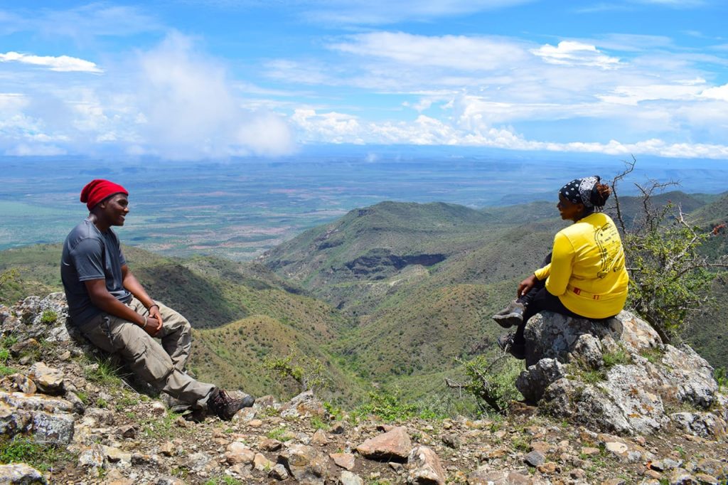
Trail head; from Ole Sayeti, the trail skirts to the left of this little hill dotted with acacia shrubs, then cuts across the plain to get to the base of Olesekut. It then winds its way up onto Oloroka ridges that present spectacular views of the surrounding beauty of Rift Valley, including from a distant the picturesque Ngong Hills.

From here on, the trail levels off at a high elevation and follows a ridge top with stunning V-shaped gullies running down and breathtaking sheer cliff drops. At the head of one of these side valleys is Kitalo Cave, a home for Maasai Morans during their period of living in the wild, following their circumcision. Save for the few herds of Maasai livestock you encounter grazing on the lower hill slopes, Olesekut is delightfully isolated from civilization, and from its summit you get magnificent views of both Ngong Hills and Mt Olorgesailie. It makes for a truly refreshing day of fun and connection.
Note;
Highest Elevation; 2100m
Distance; 16km
Time; 5-6 hours
Trail rating; Moderate
4. Ngong Hills
The hill of seven hills that is Ngong hills is a true charm and if you truly indulge she will reward you with her beauty.. It’s the story of many who have experienced her.
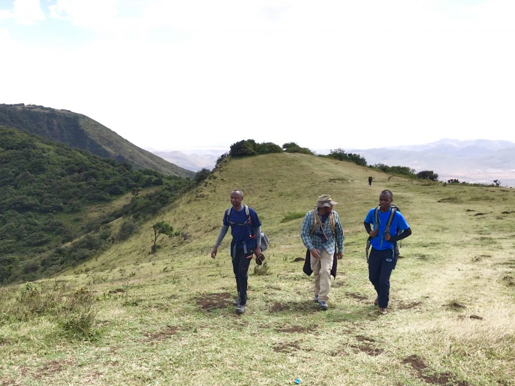
She is picturesque, she knows herself, her worth, she is not here to impress she is here to be..beyond the huge wind turbines that dot the hills and have come to identify this beauty she offers herself to you up down the valleys, you feel the breeze, and all through on either side of the path a lush green forest with over-growths you have not seen in a while.. at each top of the hills is an out this view of the Nairobi city to the East, on a clear day toward Kona Baridi you could easily spot Mt. Kilimanjaro to the south. But it’s the view of Maasai wilderness that will blow your mind.. as far as your eyes can see Ngong hills has just what the doctor ordered for your optical nutrition.

As that is not enough to the north a perfect view of Ole Seyat and Oleseikut Hills part of the Olo Oroka ranges. To the west Mt. Suswa stands tall and the further west you can locate Mt. Longonot, this is Ngong hills at her best laying the Rift valley code down for you
Distance: 22km
Time: 6 Hours
Highest Elevation: 2460m
Trail Rating; Moderate
5. Kalembwani Arm Chair Hill
Carved by mother nature like an armchair, it captures your attention from the highway and keeps you hooked. Situated 100km from Nairobi near Salama town along Mombasa Road. The exciting mountain in the Eastern region is eye candy for a lover of outdoors.
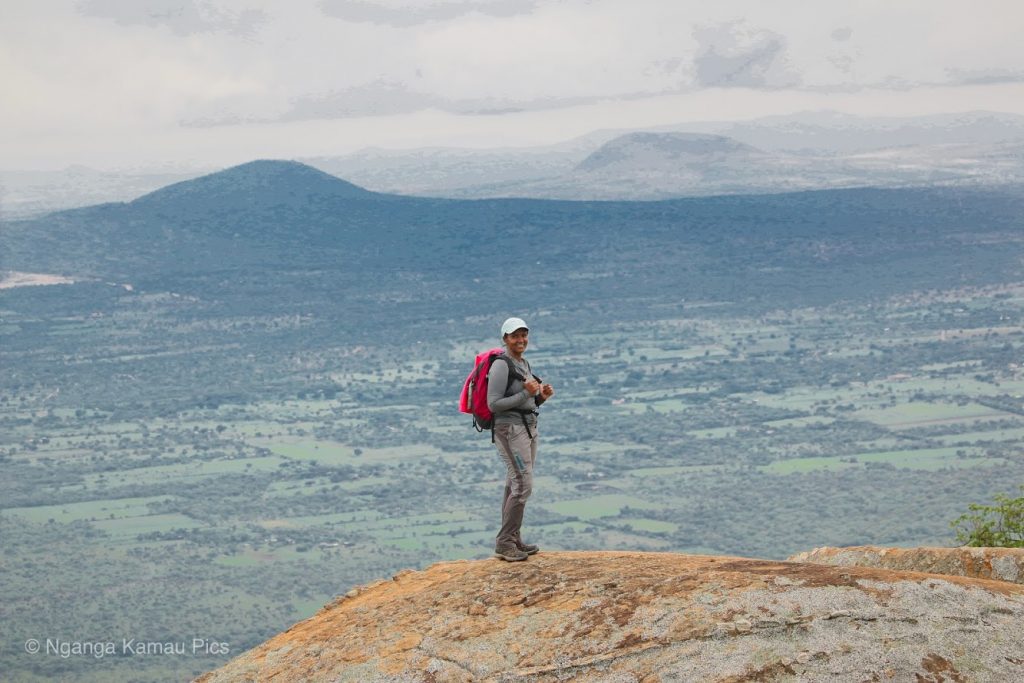
The trails start off Mombasa road, hike through the villages with scattered homesteads for an hour and then the trail to the top snakes through shrubs. At the summit, we are rewarded with beautiful views of Kiou Hill and many other unnamed hills as well as Mt. Kilimanjaro on a clear day.
Distance: 16km
Time: 6 Hours
Highest Elevation: 1890m
Trail Rating; Moderate
6. Gatamaiyu Forest
Perfect for forest bathing the trail starts at the Fisheries office and campsite a few meters from the Gatamaiyu Forest Gate, and descends into a river valley before following the course of Gatamaiyu River. It then meanders through lush forest undergrowth as it hugs the banks of the river. A slow walk is perfect to take in the forest atmosphere. This will help you relax and feel every part of self.

The trail continues through the giant ferns and indigenous trees providing a canopy over a trail along the river. As you make your way upstream, shadow and light filtering through the canopy above seem to be engaged in a perpetual dance, as if moving to the bird songs and calls high above.Fallen logs lie undisturbed on the forest floor and across the river, providing sanctuary and nourishment to fungi, lichens and micro-organisms that are part of this rich ecosystem. The occasional elephant footprints cross the trail, leaving large water-filled pools on the ground. Although it’s uncommon to come across elephants on the way, the Kenya Forest Service (KFS) always provides an armed ranger or two just in case. You are very likely to get glimpses of colonies of Colobus monkeys as they playfully swing from branch to branch high up the trees, and various species of the birds found here.
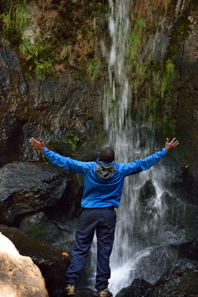
The trail eventually leads to an 18ft waterfall upstream.
The magic of the forest will amaze you..the beauty will calm you and the co existence of everything nature will awe you. It the reason you are here.. to connect..to be.
On the return journey, climb out of the valley to a dirt road on the ridge above, from where you’ll take about 30-45min to get back. Along this road, you’ll find beehives used by the local community engaged in eco-friendly economic activities in the forest.
Note;
Distance 12 km
Time; 4 – 5
Elevation; 2200m
Trail Rating: Easy
7. Mount Longonot
Rising from the floor of the Great Rift Valley like a monolith is the extinct volcano of Mount Longonot. It is located southeast of Lake Naivasha in the Great Rift Valley of Kenya, Africa. Its name is derived from the Maasai word oloonong’ot, meaning “mountains of many spurs” or “steep ridges”. It is believed to have last erupted in the 1860s.

A unique feature is a thick forest that lies
within the crater of the mountain. The crater rim also provides great scenic
views across the beautiful Rift Valley all the way to Lake Naivasha. Major
wildlife attractions at Mount Longonot include buffaloes, elands, lion,
leopard, bushbucks, common zebra, giraffe and Grant’s gazelles.
The trek to the top of this scenic crater starts
at the floor of the Rift Valley. Then rising to the first resting point
revealing for the first time the scenic surrounding. Kijabe Hill to the right,
the Eburu Forest right straight on, parts of Lake Naivasha can also be seen
from this point.

The trails leads through probably the steepest and trying section of the mountain through the acacia shrub to stand at the rim of the 7.2 Km crater. You can have a moment asyou sip some water and take in mother nature’s beauty. At this point, you can spot the Kilele Ngamia Peak that stands 2780M
After a well-deserved rest, it’s time to take on the 7.2Km encircle around the crater through the peak. It’s a flat ground at first overlooking Lake Naivasha now in full view and also the surrounding flower farms. To the far left it’s Hells Gate National Park and still, on the right Kijabe Hill stands tall now at eye level. Through the greater half of the crater, we stand at the peak to have a 360 degrees view of the world. It’s Mt. Suswa to the south Eburu Forest and Lake Naivasha to the North, Kijabe Hill to the East and the expansive Hell Gate to the West.
Enjoy the views here before taking the other half of the crater and retracing your steps back to the gate.
Distance: 14.2km
Time: 4-5 Hours
Highest Elevation: 2780m
Trail Rating; Moderate
8. Ragia Forest
The Ragia circuit starts at Sasumua Dam through Chinas camp gate. It then proceeds deep into thick bamboo forest and follows elephant trails down the valley to pipeline leave way.
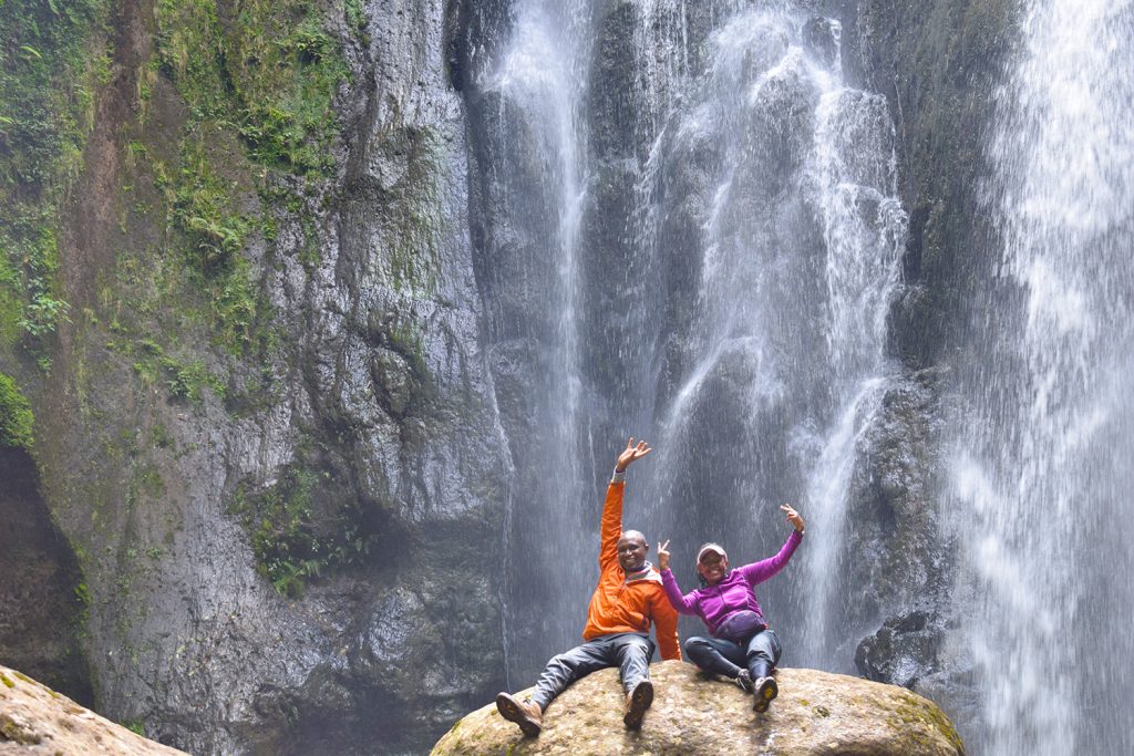
The trail follows the leave way and suddenly makes a steep drop to Sasumua River which leads to a magnificent waterfall called no 18. From the waterfall, the trail leads to a sharp ascent back to the pipeline way leave which forms better part of the trail.

Again hit the bamboo trail to the 2nd cascading waterfall and famous Mau Mau cave where Mau Mau generals like Field marshal Dedan Kimathi used to lead their troops from.
From the waterfall, the trail leads back to the bamboo forest partially retracing steps back to the start point.
Distance: 16km
Time: 6 Hours
Highest Elevation: 2550m
Trail Rating; Moderate
9. Mount Suswa
Located near Suswa Town along Mai Mahiu- Narok road, Mt. Suswa is a shield volcano in the Great Rift Valley, Kenya, located only 90km from Nairobi is probably the best day trip from Kenya’s Capital City, this known but rarely explored gem at the border of Kajiado and Narok County is a double cratered volcano neighboring the well known sister Mt. Longonot.
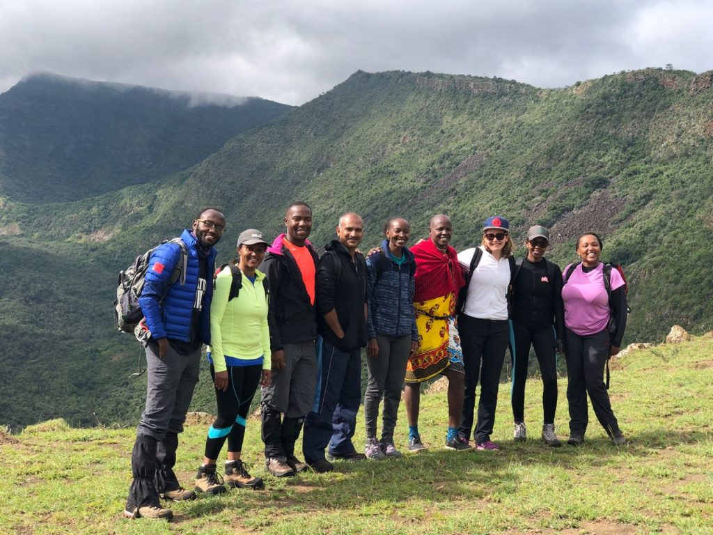
The mountain is also known for its lava tube caves on the northeast side of the outer crater.

Mt. Suswa stands at an impressive height 2,356 ASL along the Rift valley.
Note;
Distance: 21km
Time: 7-8 Hours
Highest Elevation: 2356m
Trail Rating; Difficult
10. Kijabe Hills
The Kikuyu escarpment neighbors the Aberdares and its at the border of central highlands and the Riftvalley. The trail gives you a vantage point to view of the two different worlds. Start off near Mount Lonngonot Center taking every flight of the natural stair case in pride blessed by the beauty that is Mt. Longonot from behind.
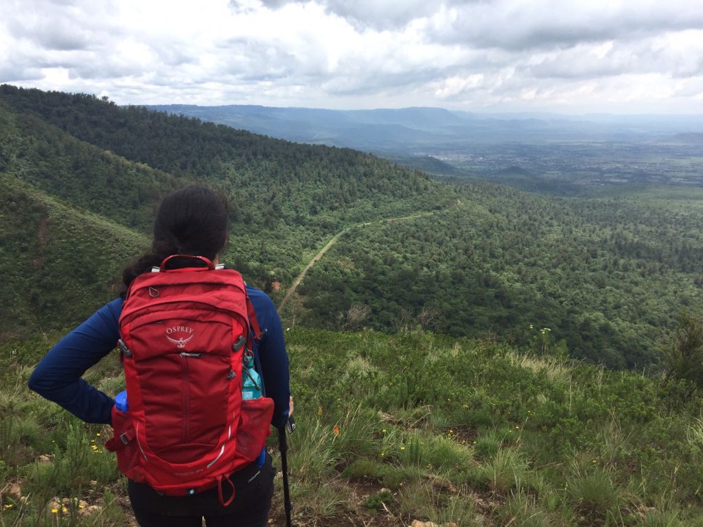
At the summit of the Kenton Hill we have 360 degrees views from the aberdares to lake Naivasha to Mt. Longonot to Mt. Suswa..its all yours to take in. The trail heads down aiming for railway that slice the hill into halves. It follows the rails for about 45 minutes then off down before reaching to the hot springs and to the tunnel commonly known as in local language as ‘Kamungu ka Nduma’ (the tunnel of darkness). If there will be no running water participants can try exploring the tunnel and therefore a flashlight will be of help.

From the tunnel, the trail leads us to Kiharu one of the many hills of Kinale forest. The ascend is steady which takes between 1hr to 1 and half to the top at an altitude of close to 2600m ASL through the cypress plantation. From here its a relaxed walk for about 45mins to Soko Mjinga towards the end point Soko Mjinga.
Distance: 16km
Time: 6 Hours
Highest Elevation: 2600m
Trail Rating; Moderate
To join scheduled trips to these and more trails across Kenya, click this link for more details . We look forward to walking these magical trails with you.



Kjellan Awuor
December 6, 2019Good job. Keep up the good work.
Beyond
December 6, 2019Thank you and see you soon on the trails!
Kjellan Awuor
December 6, 2019Good job. Keep up the good work.
Beyond
December 6, 2019Thank you and see you soon on the trails!